
Flight planning: Santa Barbara Municipal SBA / KSBA
What a pilot looks at before a flight from or to Santa Barbara Municipal in Santa Barbara, California, in plain English: right now VFR: good flying weather, Wind calm. The warnings, reports and winds below come from the government's aviation weather service and the restrictions from the FAA, refreshed every few minutes. For planning, not a briefing: the legal preflight briefing comes from Flight Service (1-800-WX-BRIEF) or the FAA's own tools.
the observation and the forecast as issued, and in English
METAR KSBA 101453Z 00000KT 10SM CLR 11/05 A3007 RMK AO2 SLP181 T01060050 53013 $
- METAR
- a routine hourly observation
- KSBA
- the station, KSBA
- 101453Z
- observed 6:53 am PST (14:53 UTC)
- 00000KT
- wind calm
- 10SM
- visibility 10 miles
- CLR
- clear skies
- 11/05
- temperature 11 °C (52 °F), dew point 5 °C (41 °F)
- A3007
- altimeter setting 30.07 inches of mercury
- RMK
- remarks follow
- AO2
- automated station with a precipitation sensor
- SLP181
- sea-level pressure 1018.1 hPa
- T01060050
- temperature 10.6 °C (51 °F), dew point 5 °C (41 °F)
- 53013
- pressure in the last three hours rising, faster lately, change 1.3 hPa
- $
- the station needs maintenance
TAF KSBA 101120Z 1012/1112 VRB03KT P6SM SKC FM102000 18006KT P6SM SKC FM110300 VRB03KT P6SM SKC FM110800 VRB03KT P6SM SKC
- TAF
- a terminal aerodrome forecast: the weather expected at the airport, usually for the next 24 or 30 hours
- KSBA
- the station, KSBA
- 101120Z
- issued 3:20 am PST (11:20 UTC)
- 1012/1112 VRB03KT P6SM SKC
- valid from Tue 4:00 am PST (12:00 UTC) to Wed 4:00 am PST (12:00 UTC): wind light and variable, visibility more than 6 miles, clear skies
- FM102000 18006KT P6SM SKC
- from Tue 12:00 pm PST (20:00 UTC): wind from the south at 6 knots, visibility more than 6 miles, clear skies
- FM110300 VRB03KT P6SM SKC
- from Tue 7:00 pm PST (03:00 UTC): wind light and variable, visibility more than 6 miles, clear skies
- FM110800 VRB03KT P6SM SKC
- from Wed 12:00 am PST (08:00 UTC): wind light and variable, visibility more than 6 miles, clear skies
Field conditions now density altitude and the wind on each runway, from the latest observation
Field conditions now: elevation 14 ft, altimeter 30.07, 51°F (11°C; standard would be 15°C). Pressure altitude -150 ft. Density altitude -700 ft. The aircraft performs as if the field were at -700 feet: below the field (700 feet lower).
| Runway | Length | Surface | Use end | Wind on it | Room for your book distance |
|---|---|---|---|---|---|
| 07/25 | 6,052 ft | asphalt | either | calm | |
| 15R/33L | 4,184 ft | asphalt | either | calm | |
| 15L/33R | 4,180 ft | asphalt | either | calm |
Wind calm.
Pressure altitude is the field elevation corrected for today's altimeter setting; density altitude adds the effect of temperature. The aircraft's manual turns these into takeoff and landing distances, climb and fuel burn. Observation KSBA, 6:53 am PST (14:53 UTC).
Warnings in force SIGMETs and AIRMETs whose area covers this field
No SIGMET or AIRMET covers this field right now.
Turbulence No turbulence warning in force over this field. 2 pilot reports of turbulence within 100 nautical miles in the last three hours: light to moderate turbulence up to 2,000 ft, 58 nm northwest, 7:08 am PST (15:08 UTC); moderate turbulence, at 2,000 ft, 64 nm northwest, 6:22 am PST (14:22 UTC). The government's turbulence forecast map ↗
Icing No icing warning in force over this field. No pilot has reported icing within 100 nautical miles in the last three hours. The freezing level is about 14,000 ft (from the winds-aloft temperatures), so icing is possible in cloud above that. The government's icing forecast map ↗
A SIGMET warns of weather hazardous to all aircraft (thunderstorms, severe turbulence or icing, volcanic ash); an AIRMET of weather that matters to small aircraft and to flying without instruments (moderate turbulence or icing, low cloud, strong surface wind, mountains hidden in cloud). An area is counted when it covers this field's position.
Pilot reports within 100 nautical miles, last three hours, nearest first
- SW4 at 2,000 ft, 58 nm northwest, 7:08 am PST (15:08 UTC): light to moderate turbulence up to 2,000 ft.
as filed, and in English
SBP UA /OV SBP110005/TM 1508/FL020/TP SW4/TB LGT OCNL MOD BLO 020
- Report
- a routine report filed through SBP
- Where
- 5 nm east (110°) of SBP
- Time
- 15:08 UTC
- Height
- at 2,000 ft
- Aircraft
- SW4
- Turbulence
- light occasional moderate below 2,000 ft
- C172 at 2,000 ft, 64 nm northwest, 6:22 am PST (14:22 UTC): moderate turbulence.
as filed, and in English
SBP UA /OV SBP360002/TM 1422/FL020/TP C172/TB MOD
- Report
- a routine report filed through SBP
- Where
- 2 nm north (360°) of SBP
- Time
- 14:22 UTC
- Height
- at 2,000 ft
- Aircraft
- C172
- Turbulence
- moderate
What pilots in the air told air traffic control or Flight Service: turbulence, icing, cloud tops and bases, temperature, wind, and whatever they remarked on (wind shear on final, a smooth ride). An urgent report is one of severe turbulence or icing, wind shear, or similar. Open "as filed, and in English" for the coded report and its translation line by line.
Winds and temperatures aloft forecast point SBA · for use 00:00–12:00 UTC
| Height | Wind from | Speed | Temperature |
|---|---|---|---|
| 3,000 ft | 350° (north) | 9 knots | |
| 6,000 ft | 330° (northwest) | 15 knots | 9 °C |
| 9,000 ft | 300° (northwest) | 25 knots | 7 °C |
| 12,000 ft | 290° (west) | 34 knots | 4 °C |
| 18,000 ft | 290° (west) | 52 knots | -7 °C |
| 24,000 ft | 280° (west) | 58 knots | -21 °C |
| 30,000 ft | 270° (west) | 63 knots | -38 °C |
| 34,000 ft | 260° (west) | 72 knots | -48 °C |
| 39,000 ft | 260° (west) | 97 knots | -55 °C |
Based on data from the 3rd at 06:00 UTC; valid on the 4th at 06:00 UTC for use 00:00 to 12:00 UTC; temperatures above 24,000 ft are below zero. Heights are above sea level; the lowest rows are left out where the ground is already that high.
Temporary flight restrictions within 50 nautical miles, from the FAA's list
No temporary flight restriction within 50 nautical miles right now.
Each restriction opens the FAA's own page with the exact area, heights and times.
Notices to air missions closed runways and taxiways, lights and aids out of service, procedures not authorized, obstructions, airspace
17 in force now, 4 starting within a week. runway 15L/33R closed
The airport 2
- from Tue 10 Nov Airport Signature fixed Base operate closed to non scheduled aircraft except 2 hours prior permission required 805-967-5608 from Tue 10 Nov, 8:00 am PST (16:00 UTC) until Tue 10 Nov, 6:00 pm PST (02:00 UTC) · SBA 11/100
as issued
!SBA 11/100 SBA AD AP SIGNATURE FIXED BASE OPR CLSD TO NON SKED ACFT EXC 2 HR PPR 805-967-5608 2611101600-2611110200
- from Tue 10 Nov Airport runway visual range all out of service from Tue 10 Nov, 10:00 am PST (18:00 UTC) until Tue 10 Nov, 3:55 pm PST (23:55 UTC) · SBA 11/059
as issued
!SBA 11/059 SBA AD AP RVR ALL U/S 2611101800-2611102355
Runways 6
- closed Runway 15L/33R closed until Tue 10 Nov, 4:01 pm PST (00:01 UTC) · SBA 11/095
as issued
!SBA 11/095 SBA RWY 15L/33R CLSD 2611100051-2611110001
- from Thu 12 Nov Runway 15L/33R closed from Thu 12 Nov, 4:00 am PST (12:00 UTC) until Fri 13 Nov, 4:01 pm PST (00:01 UTC) · SBA 11/096
as issued
!SBA 11/096 SBA RWY 15L/33R CLSD 2611121200-2611140001
- Runway 07 approach light system out of service until Tue 10 Nov, 1:00 pm PST (21:00 UTC) · SBA 11/097
as issued
!SBA 11/097 SBA RWY 07 ALS U/S 2611101500-2611102100
- Runway 15R runway end identification lights out of service until Wed 2 Dec, 3:59 pm PST (23:59 UTC), estimated · SBA 11/089
as issued
!SBA 11/089 SBA RWY 15R RWY END ID LGT U/S 2611092030-2612022359EST
- Runway 33L holding position sign for runway 07/25 right side lights out of service until Sat 21 Nov, 4:01 pm PST (00:01 UTC) · SBA 11/077
as issued
!SBA 11/077 SBA RWY 33L HLDG PSN SIGN FOR RWY 07/25 RIGHT SIDE LGT U/S 2611081147-2611220001
- Runway 25 runway end identification lights out of service until Thu 12 Nov, 3:59 pm PST (23:59 UTC), estimated · SBA 10/054
as issued
!SBA 10/054 SBA RWY 25 RWY END ID LGT U/S 2610180419-2611122359EST
Taxiways 6
- closed Taxiway B between taxiway B1 and taxiway G closed until Tue 10 Nov, 5:00 pm PST (01:00 UTC) · SBA 11/093
as issued
!SBA 11/093 SBA TWY B BTN TWY B1 AND TWY G CLSD 2611092325-2611110100
- closed Taxiway G between Northeast APN and taxiway B closed until Tue 10 Nov, 5:00 pm PST (01:00 UTC) · SBA 11/092
as issued
!SBA 11/092 SBA TWY G BTN NORTHEAST APN AND TWY B CLSD 2611092323-2611110100
- closed Taxiway E between taxiway E1 and 100 ft north of taxiway E2 closed until Fri 4 Dec, 3:00 pm PST (23:00 UTC) · SBA 11/007
as issued
!SBA 11/007 SBA TWY E BTN TWY E1 AND 100FT NORTH OF TWY E2 CLSD 2611021527-2612042300
- closed Taxiway E2 closed until Fri 4 Dec, 3:00 pm PST (23:00 UTC) · SBA 11/006
as issued
!SBA 11/006 SBA TWY E2 CLSD 2611021500-2612042300
- Taxiway D Southbound holding position sign for runway 07/25 left side lights out of service until Sun 22 Nov, 8:00 pm PST (04:00 UTC) · SBA 11/087
as issued
!SBA 11/087 SBA TWY D SOUTHBOUND HLDG PSN SIGN FOR RWY 07/25 LEFT SIDE LGT U/S 2611090932-2611230400
- Taxiway E2 work in progress construction until Mon 30 Nov, 10:00 am PST (18:00 UTC) · SBA 11/030
as issued
!SBA 11/030 SBA TWY E2 WIP CONST 2611032337-2611301800
Procedures and charts 4
- Obstacle departure procedure Santa Barbara Municipal, Santa Barbara, CA. Diverse Vector area (diverse vector area), amendment 1... runway 15R: not authorized - obstacles. all other data Remains as published. from Mon 9 Feb, 8:48 am PST (16:48 UTC) until Wed 9 Feb 2028, 8:48 am PST (16:48 UTC) (estimated) until Wed 9 Feb 2028, 8:48 am PST (16:48 UTC), estimated · SBA 6/1529
as issued
!FDC 6/1529 SBA ODP SANTA BARBARA MUNI, SANTA BARBARA, CA.
DIVERSE VECTOR AREA (DVA), AMDT 1 ...
RWY 15R: NA - OBSTACLES.
ALL OTHER DATA REMAINS AS PUBLISHED. 2602091648-2802091648EST
- Standard instrument departure Santa Barbara Municipal, Santa Barbara, CA. Habut Four departure... Take-OFF minimums runway 15R: 300-1. all other data Remains as published. from Tue 11 Aug, 6:04 am PDT (13:04 UTC) until Fri 11 Aug 2028, 6:04 am PDT (13:04 UTC) (estimated) until Fri 11 Aug 2028, 6:04 am PDT (13:04 UTC), estimated · SBA 6/3701
as issued
!FDC 6/3701 SBA SID SANTA BARBARA MUNI, SANTA BARBARA, CA.
HABUT FOUR DEPARTURE...
TAKE-OFF MINIMUMS RWY 15R: 300-1.
ALL OTHER DATA REMAINS AS PUBLISHED. 2608111304-2808111304EST
- Obstacle departure procedure Santa Barbara Municipal, Santa Barbara, CA. takeoff minimums and (obstacle) departure procedures amendment 8A... Take-OFF minimums: runway 15R, 300-1. Take-OFF minimums runway 07: standard Wtih minimum Climb of 263 FT/NM to 1100. all other data Remains as published. from Tue 11 Aug, 5:57 am PDT (12:57 UTC) until Fri 11 Aug 2028, 5:57 am PDT (12:57 UTC) (estimated) until Fri 11 Aug 2028, 5:57 am PDT (12:57 UTC), estimated · SBA 6/3699
as issued
!FDC 6/3699 SBA ODP SANTA BARBARA MUNI, SANTA BARBARA, CA.
TAKEOFF MINIMUMS AND (OBSTACLE) DEPARTURE PROCEDURES AMDT 8A...
TAKE-OFF MINIMUMS: RWY 15R, 300-1.
TAKE-OFF MINIMUMS RWY 07: STANDARD WTIH MINIMUM CLIMB OF 263 FT/NM TO 1100.
ALL OTHER DATA REMAINS AS PUBLISHED. 2608111257-2808111257EST
- Standard instrument departure Santa Barbara Municipal, Santa Barbara, CA. Flout five departure... Santa Barbara five departure... Take-OFF minimums runway 07: standard with minimum Climb of 263 FT/NM to 1100. Take-OFF minimums runway 15R: 300-1. all other data Remains as published. from Tue 11 Aug, 5:57 am PDT (12:57 UTC) until Fri 11 Aug 2028, 5:57 am PDT (12:57 UTC) (estimated) until Fri 11 Aug 2028, 5:57 am PDT (12:57 UTC), estimated · SBA 6/3697
as issued
!FDC 6/3697 SBA SID SANTA BARBARA MUNI, SANTA BARBARA, CA.
FLOUT FIVE DEPARTURE...
SANTA BARBARA FIVE DEPARTURE...
TAKE-OFF MINIMUMS RWY 07: STANDARD WITH MINIMUM CLIMB OF 263 FT/NM TO 1100.
TAKE-OFF MINIMUMS RWY 15R: 300-1.
ALL OTHER DATA REMAINS AS PUBLISHED. 2608111257-2808111257EST
Obstructions 2
- Obstruction crane (ASN Unknown) 34°41′N 119°49′W (1.28 nautical miles southeast SBA) 175 ft (110 ft above ground level) flagged and lighted until Mon 30 Nov, 3:59 pm PST (23:59 UTC) · SBA 06/036
as issued
!SBA 06/036 SBA OBST CRANE (ASN UNKNOWN) 344159N1194900W (1.28NM SE SBA)
 175FT (110FT AGL) FLAGGED AND LGTD 2606151606-2611302359
- from Sat 14 Nov Obstruction crane (ASN Unknown) 34°25′N 119°51′W (.7 nautical miles southwest SBA) 143 ft (130 ft above ground level) flagged and lighted from Sat 14 Nov, 7:00 am PST (15:00 UTC) until Sat 14 Nov, 3:59 pm PST (23:59 UTC) · SBA 11/091
as issued
!SBA 11/091 SBA OBST CRANE (ASN UNKNOWN) 342515N1195108W (.7NM SW SBA) 143FT (130FT AGL) FLAGGED AND LGTD 2611141500-2611142359
Services 1
- Service the ATIS broadcast 805-967-0283 changed to 805-957-6163 until further notice · SBA 11/047
as issued
!SBA 11/047 SBA SVC ATIS 805-967-0283 CHANGED TO 805-957-6163 2611051702-PERM
From the FAA's notice service (NOTAMs), the site's copy refreshed every few minutes; last checked a minute ago. The FAA has so far issued eFlight its test feed, which misses some notices (checked against the FAA's own search on 12 October: about a third missing at Santa Barbara and Burbank, none at Atlanta or Las Vegas); the request for the full feed is with the FAA. Times are local to the field. This is for planning; the legal briefing comes from Flight Service or the FAA's own tools.
Radar and forecast charts government pictures, the latest each time the page loads
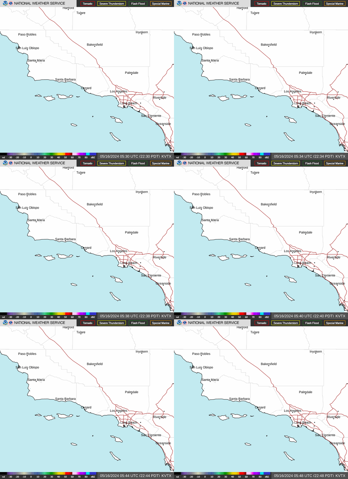
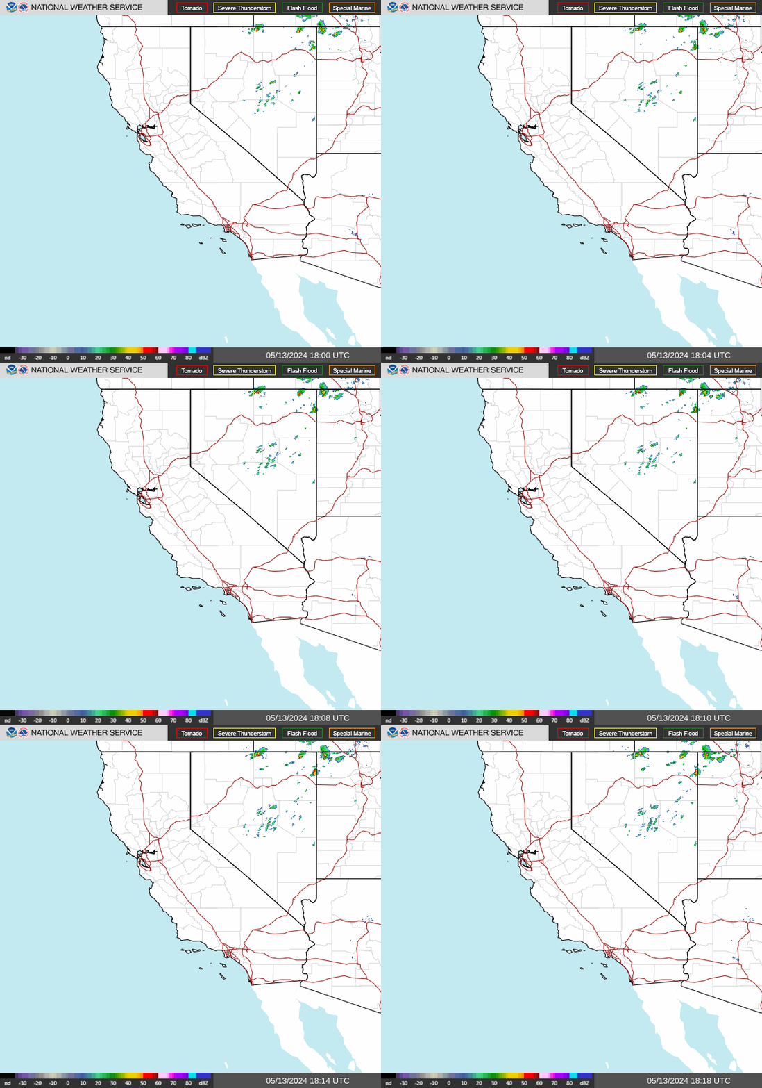
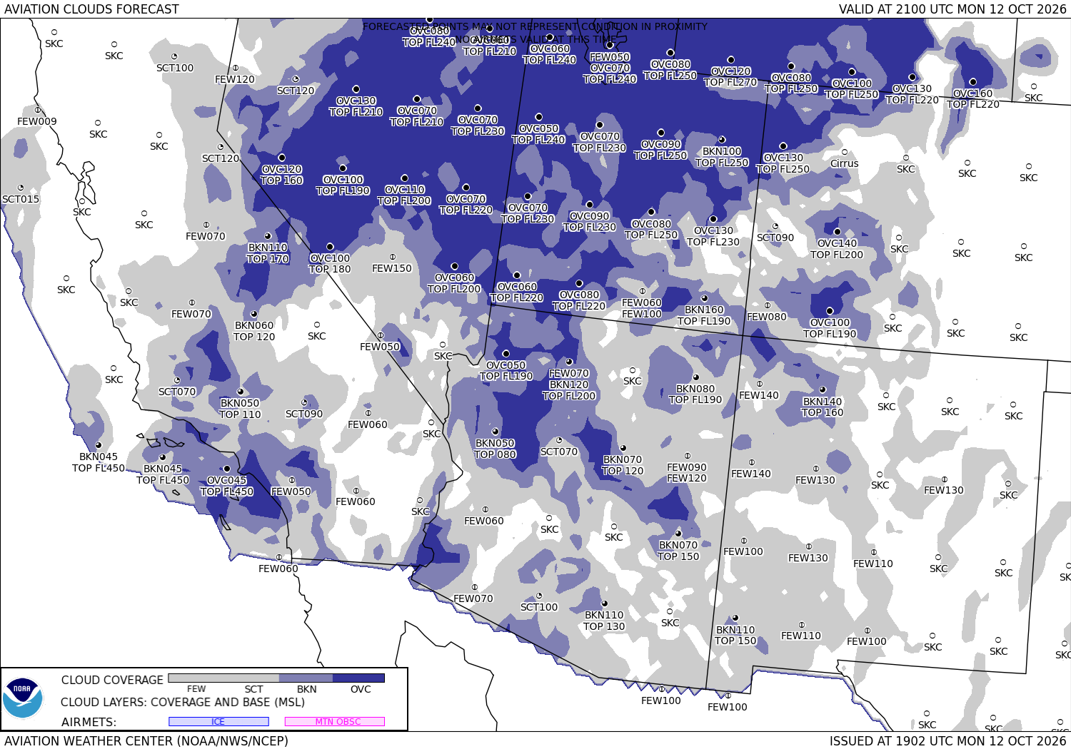
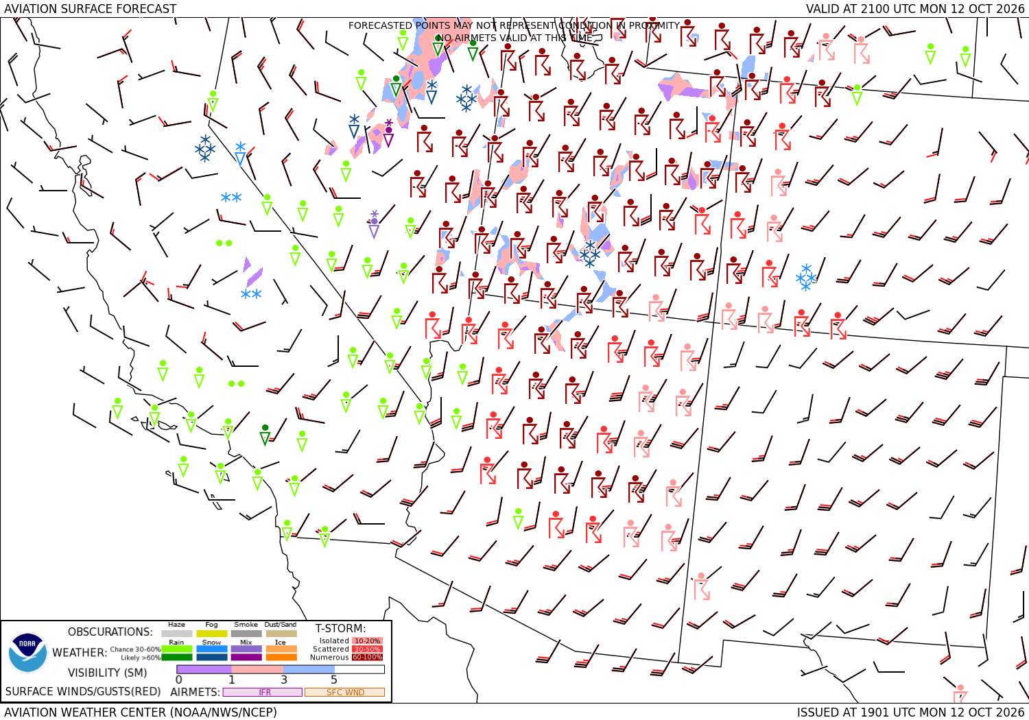
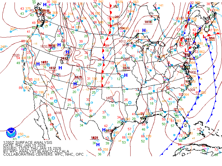
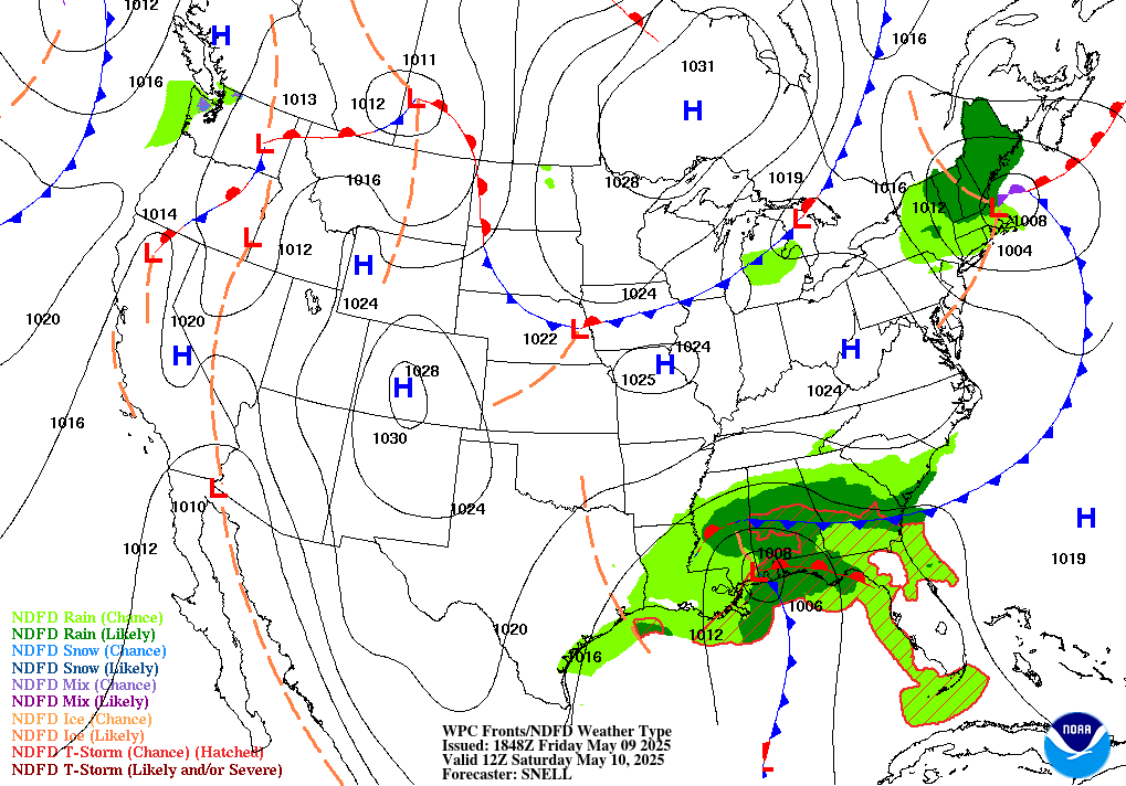
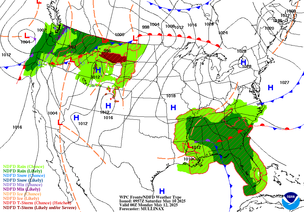
The radar pictures come from the National Weather Service (the nearest radar, then the region); the aviation forecast charts from the Aviation Weather Center's Graphical Forecasts for Aviation (clouds and visibility; surface wind, weather and thunderstorms with the AIRMET boxes); the surface analysis and the 12- and 24-hour forecast charts from the Weather Prediction Center. They are public-domain government images shown as they are published. The turbulence and icing forecasts are drawn live on the Aviation Weather Center's site: turbulence ↗ · icing ↗.
Sources: the Aviation Weather Center's data service (SIGMETs, AIRMETs, graphical AIRMETs, pilot reports, winds and temperatures aloft), the National Weather Service radar, the Weather Prediction Center's charts, and the FAA's temporary flight restriction list and shapes. Fetched when the page is viewed and kept a few minutes. Back to Santa Barbara Municipal, where the current observation and the forecast for the field are.