
Salt Lake City International to Syracuse Hancock International SLC → SYR
1,596 nautical miles (1,836 statute miles) east on a straight line, true course 073°, about 062° magnetic at the departure end (variation 11E). At 120 knots that is 7 h 45 min at the quickest height in today's winds (34,000 ft, a 86-knot tailwind), arriving about 6:58 pm EDT (22:58 UTC), after sunset at the destination. For planning, not a briefing: the legal preflight briefing comes from Flight Service (1-800-WX-BRIEF) or the FAA's own tools. Airlines fly this pair: 1 flights in the DOT's last twelve reported months, the route's page.
The route the straight line, the warnings crossed, restrictions, pilot reports and the airports along the way · click a mark for its words
Green, blue, red and purple airport dots are the flying conditions reported there now (VFR, marginal VFR, IFR, low IFR); grey means no report. Red areas are SIGMETs, orange areas AIRMETs, hatched red areas temporary flight restrictions. Map tiles: OpenFreeMap, data © OpenStreetMap contributors.
Warnings the route crosses SIGMETs and AIRMETs whose area the line passes through or comes within 25 nm of
- SIGMET E23E: thunderstorms (a convective SIGMET) up to 34,000 ft, moving from the west at 35 knots, until 10:55 am MDT (16:55 UTC). Over the last 30 nm of the route.
as issued
WSUS31 KKCI 131455
MKCE WST 131455
CONVECTIVE SIGMET 23E
VALID UNTIL 1655Z
NH VT NY
FROM 60NE MPV-40NW CON-40WSW SYR-40NW SYR-20W MSS-60NE MPV
AREA TS MOV FROM 27035KT. TOPS TO FL340.
- AIRMET ZULU 1C: moderate icing up to 20,000 ft. Over the first 409 nm of the route.
- AIRMET TANGO 1W: moderate turbulence above 18,000 ft from 18,000 ft to 39,000 ft. Over the first 160 nm of the route.
- AIRMET SIERRA 1E: mountains obscured by cloud (due to mountains obscured by clouds, precipitation, mist). Over the first 110 nm of the route.
- AIRMET TANGO 2W: moderate turbulence below 18,000 ft (due to mountain wave) up to 22,000 ft. Over the route from 40 to 80 nm out.
- AIRMET TANGO 1W: moderate turbulence above 18,000 ft from 24,000 ft to 35,000 ft. Over the route from 170 to 1276 nm out.
- AIRMET SIERRA 1E: mountains obscured by cloud (due to mountains obscured by clouds, precipitation, mist). Near the route, 309 nm along the route.
- AIRMET SIERRA 9E: low cloud or poor visibility (IFR conditions) (due to ceilings below 1,000 ft, visibility below 3 miles, precipitation, mist). Over the route from 319 to 479 nm out.
- AIRMET SIERRA 4E: low cloud or poor visibility (IFR conditions) (due to ceilings below 1,000 ft, visibility below 3 miles, mist). Near the route, 1187 nm along the route.
- AIRMET TANGO 3W: moderate turbulence above 18,000 ft from 26,000 ft to 38,000 ft. Over the last 120 nm of the route.
- AIRMET TANGO 4W: low-level wind shear (due to air speed loss or gain of 20 knots or more below 2,000 ft above the ground). Over the last 110 nm of the route.
- AIRMET SIERRA 1E: low cloud or poor visibility (IFR conditions) (due to ceilings below 1,000 ft, visibility below 3 miles, precipitation, mist, fog). Over the last 10 nm of the route.
- AIRMET SIERRA 4E: mountains obscured by cloud (due to mountains obscured by clouds, precipitation, mist, fog). Over the last 10 nm of the route.
Turbulence AIRMET in force: moderate turbulence from 18,000 ft to 39,000 ft, over the first 160 nm of the route; AIRMET in force: moderate turbulence (due to mountain wave) up to 22,000 ft, over the route from 40 to 80 nm out. AIRMET in force: low-level wind shear (due to air speed loss or gain of 20 knots or more below 2,000 ft above the ground), over the last 110 nm of the route. 6 pilot reports of turbulence near the line in the last three hours: light chop turbulence, at 12,000 ft, 31 nm south, 6:35 am MDT (12:35 UTC); light turbulence, at 16,000 ft, 35 nm north, 8:10 am MDT (14:10 UTC). The government's turbulence forecast map ↗
Icing AIRMET in force: moderate icing up to 20,000 ft, over the first 409 nm of the route. 5 pilot reports of icing near the line in the last three hours: light to moderate rime icing from 18,000 ft to 20,000 ft, 28 nm south, 8:22 am MDT (14:22 UTC); light icing, at 9,000 ft, 13 nm west, 7:45 am MDT (13:45 UTC). The freezing level is about 13,000 ft (from the winds-aloft temperatures), so icing is possible in cloud above that. The government's icing forecast map ↗
A SIGMET warns of weather hazardous to all aircraft; an AIRMET of weather that matters to small aircraft and to flying without instruments. "From 60 to 180 nm out" is measured along the route from SLC.
Pilot reports along the route within 50 nm of the line, last three hours, the serious ones first
- urgent CRJ7 at 500 ft, 49 nm south, 8:50 am MDT (14:50 UTC): remarks: a 10-knot loss of airspeed on final. 1227 nm along the route, 49 nm south of the line.
as filed, and in English
LAN UUA /OV LAN/TM 1450/FL005/TP CRJ7/RM -10KTS ON FINAL
- Report
- an urgent report filed through LAN
- Where
- over LAN
- Time
- 14:50 UTC
- Height
- at 500 ft
- Aircraft
- CRJ7
- Remarks
- a 10-knot loss of airspeed on final
- urgent B39M at 34,000 ft, 5 nm west, 8:04 am MDT (14:04 UTC): remarks: mountain wave a 10-knot loss of airspeed zob. At the destination end, 5 nm west of the line.
as filed, and in English
SYR UUA /OV SYR280010/TM 1404/FL340/TP B39M/RM MTN WAVE +/-10KTS ZOB
- Report
- an urgent report filed through SYR
- Where
- 10 nm west (280°) of SYR
- Time
- 14:04 UTC
- Height
- at 34,000 ft
- Aircraft
- B39M
- Remarks
- mountain wave a 10-knot loss of airspeed zob
- PC12 at 9,000 ft, 13 nm west, 7:45 am MDT (13:45 UTC): light icing, -4 °C, remarks: during the climb from 9,000 ft to 11,000 ft zlc. At the departure end, 13 nm west of the line.
as filed, and in English
SLC UA /OV TCH255012/TM 1345/FL090/TP PC12/TA M4/IC LGT MX/RM DURC 090-110 /ZLC
- Report
- a routine report filed through SLC
- Where
- 12 nm west (255°) of TCH
- Time
- 13:45 UTC
- Height
- at 9,000 ft
- Aircraft
- PC12
- Temperature
- −4 °C
- Icing
- light mixed
- Remarks
- during the climb from 9,000 ft to 11,000 ft zlc
- E75L at 12,000 ft, 31 nm south, 6:35 am MDT (12:35 UTC): light chop turbulence, light icing, -7 °C, remarks: from 12,000 ft to 9,000 ft. At the departure end, 31 nm south of the line.
as filed, and in English
SLC UA /OV FFU/TM 1235/FL120/TP E75L/TA M07/TB LGT CHOP/IC LGT/RM 120-090
- Report
- a routine report filed through SLC
- Where
- over FFU
- Time
- 12:35 UTC
- Height
- at 12,000 ft
- Aircraft
- E75L
- Temperature
- −7 °C
- Turbulence
- light chop
- Icing
- light
- Remarks
- from 12,000 ft to 9,000 ft
- CRJ7 at 16,000 ft, 35 nm north, 8:10 am MDT (14:10 UTC): light turbulence, no icing, overcast from 30,000 ft to 6,400 ft, remarks: during the climb southeast. 269 nm along the route, 35 nm north of the line.
as filed, and in English
CPR UA /OV CPR150023/TM 1410/FL160/TP CRJ7/SK OVC003-TOP064/TB CONS LGT/IC NEG/RM DURC SE
- Report
- a routine report filed through CPR
- Where
- 23 nm southeast (150°) of CPR
- Time
- 14:10 UTC
- Height
- at 16,000 ft
- Aircraft
- CRJ7
- Sky
- overcast from 300 ft, tops 6,400 ft
- Turbulence
- continuous light
- Icing
- none
- Remarks
- during the climb southeast
- BE9L at 13,000 ft, 35 nm south, 7:11 am MDT (13:11 UTC): a trace of rime icing, -5 °C, remarks: zdvwc 22. 269 nm along the route, 35 nm south of the line.
as filed, and in English
LAR UA /OV LAR280011/TM 1311/FL130/TP BE9L/TA M05/IC TRACE RIME /RM -ZDVWC- 22
- Report
- a routine report filed through LAR
- Where
- 11 nm west (280°) of LAR
- Time
- 13:11 UTC
- Height
- at 13,000 ft
- Aircraft
- BE9L
- Temperature
- −5 °C
- Icing
- trace rime
- Remarks
- zdvwc 22
- S22T at 500 ft, 43 nm south, 7:54 am MDT (13:54 UTC): a trace of rime icing, remarks: no oat GIVEN-ZDVWC-21. 279 nm along the route, 43 nm south of the line.
as filed, and in English
LAR UA /OV KLAR/TM 1354/FL005/TP S22T/IC TRACE RIME /RM NO OAT GIVEN-ZDVWC-21
- Report
- a routine report filed through LAR
- Where
- over KLAR
- Time
- 13:54 UTC
- Height
- at 500 ft
- Aircraft
- S22T
- Icing
- trace rime
- Remarks
- no oat GIVEN-ZDVWC-21
- TBM9 at 16,000 ft, 28 nm south, 8:22 am MDT (14:22 UTC): light to moderate rime icing from 18,000 ft to 20,000 ft, -15 °C, remarks: ZDVWC-21. 339 nm along the route, 28 nm south of the line.
as filed, and in English
TOR UA /OV TOR217026/TM 1422/FL160/TP TBM9/TA M15/IC LGT-MOD RIME 180-200/RM ZDVWC-21
- Report
- a routine report filed through TOR
- Where
- 26 nm southwest (217°) of TOR
- Time
- 14:22 UTC
- Height
- at 16,000 ft
- Aircraft
- TBM9
- Temperature
- −15 °C
- Icing
- light to moderate rime from 18,000 ft to 20,000 ft
- Remarks
- ZDVWC-21
- BCS1 at 34,000 ft, 30 nm south, 7:52 am MDT (13:52 UTC): no turbulence, remarks: zdvwc 35. 379 nm along the route, 30 nm south of the line.
as filed, and in English
BFF UA /OV KBFF/TM 1352/FL340/TP BCS1/TB NEG/RM -ZDVWC- 35
- Report
- a routine report filed through BFF
- Where
- over KBFF
- Time
- 13:52 UTC
- Height
- at 34,000 ft
- Aircraft
- BCS1
- Turbulence
- none
- Remarks
- zdvwc 35
- H25B at 36,000 ft, 26 nm south, 7:51 am MDT (13:51 UTC): no turbulence, remarks: zdvwc 33. 419 nm along the route, 26 nm south of the line.
as filed, and in English
AIA UA /OV AIA/TM 1351/FL360/TP H25B/TB NEG/RM -ZDVWC- 33
- Report
- a routine report filed through AIA
- Where
- over AIA
- Time
- 13:51 UTC
- Height
- at 36,000 ft
- Aircraft
- H25B
- Turbulence
- none
- Remarks
- zdvwc 33
- BCS1 at 34,000 ft, 31 nm south, 7:52 am MDT (13:52 UTC): no turbulence, remarks: zdvwc 35. 459 nm along the route, 31 nm south of the line.
as filed, and in English
AIA UA /OV AIA075040/TM 1352/FL340/TP BCS1/TB NEG/RM -ZDVWC- 35
- Report
- a routine report filed through AIA
- Where
- 40 nm east (075°) of AIA
- Time
- 13:52 UTC
- Height
- at 34,000 ft
- Aircraft
- BCS1
- Turbulence
- none
- Remarks
- zdvwc 35
- BE99 at 5,000 ft, 32 nm south, 7:15 am MDT (13:15 UTC): remarks: during the descent. 608 nm along the route, 32 nm south of the line.
as filed, and in English
ONL UA /OV ONL/TM 1315/FL050/TP BE99/SK TOP044-BASE034/RM DURD
- Report
- a routine report filed through ONL
- Where
- over ONL
- Time
- 13:15 UTC
- Height
- at 5,000 ft
- Aircraft
- BE99
- Sky
- TOP044-BASE034
- Remarks
- during the descent
- E545 at 43,000 ft, 42 nm north, 7:00 am MDT (13:00 UTC): no turbulence. 638 nm along the route, 42 nm north of the line.
as filed, and in English
MHE UA /OV MHE/TM 1300/FL430/TP E545/TB NEG
- Report
- a routine report filed through MHE
- Where
- over MHE
- Time
- 13:00 UTC
- Height
- at 43,000 ft
- Aircraft
- E545
- Turbulence
- none
- B752 at 40,000 ft, 42 nm north, 6:35 am MDT (12:35 UTC): no turbulence. 638 nm along the route, 42 nm north of the line.
as filed, and in English
MHE UA /OV MHE/TM 1235/FL400/TP B752/TB NEG
- Report
- a routine report filed through MHE
- Where
- over MHE
- Time
- 12:35 UTC
- Height
- at 40,000 ft
- Aircraft
- B752
- Turbulence
- none
16 more routine reports are on the map.
Winds aloft along the route, and the time en route the forecast for use 14:00–21:00 UTC · at 120 knots true airspeed
The eastbound cruising heights for this course (VFR: odd thousands plus 500 ft; above 18,000 ft the forecast levels), with the wind averaged along the line from the 13 forecast points nearest it (SLC, RKS, BFF, ONL, FSD, MCW, LSE, GRB, MKG, TVC, CLE, BUF, SYR). A plus sign is a headwind, a minus sign a tailwind.
| Height | Average wind | Head- or tailwind | Temperature | Ground speed | Time en route | Arrival |
|---|---|---|---|---|---|---|
| 3,500 ft | 280° at 20 kt | −19 kt | 139 kt | 11 h 29 min | 10:42 pm EDT (02:42 UTC) | |
| 5,500 ft | 260° at 22 kt | −22 kt | 9 °C | 142 kt | 11 h 14 min | 10:27 pm EDT (02:27 UTC) |
| 7,500 ft | 260° at 23 kt | −24 kt | 12 °C | 144 kt | 11 h 05 min | 10:18 pm EDT (02:18 UTC) |
| 9,500 ft | 260° at 25 kt | −26 kt | 8 °C | 146 kt | 10 h 56 min | 10:09 pm EDT (02:09 UTC) |
| 11,500 ft | 260° at 28 kt | −29 kt | 4 °C | 149 kt | 10 h 43 min | 9:56 pm EDT (01:56 UTC) |
| 13,500 ft | 260° at 31 kt | −32 kt | -1 °C | 152 kt | 10 h 30 min | 9:43 pm EDT (01:43 UTC) |
| 15,500 ft | 250° at 35 kt | −36 kt | -6 °C | 156 kt | 10 h 14 min | 9:27 pm EDT (01:27 UTC) |
| 17,500 ft | 250° at 39 kt | −40 kt | -11 °C | 160 kt | 9 h 58 min | 9:11 pm EDT (01:11 UTC) |
| 18,000 ft FL180 | 250° at 40 kt | −41 kt | -12 °C | 161 kt | 9 h 55 min | 9:08 pm EDT (01:08 UTC) |
| 24,000 ft FL240 | 250° at 55 kt | −56 kt | -23 °C | 176 kt | 9 h 04 min | 8:17 pm EDT (00:17 UTC) |
| 30,000 ft FL300 | 250° at 76 kt | −78 kt | -33 °C | 198 kt | 8 h 04 min | 7:17 pm EDT (23:17 UTC) |
| 34,000 ft FL340 | 260° at 82 kt | −86 kt | -39 °C | 206 kt | 7 h 45 min | 6:58 pm EDT (22:58 UTC) |
| 39,000 ft FL390 | 260° at 79 kt | −83 kt | -47 °C | 203 kt | 7 h 52 min | 7:05 pm EDT (23:05 UTC) |
Based on data from the 13th at 12:00 UTC; valid on the 13th at 18:00 UTC for use 14:00 to 21:00 UTC; temperatures above 24,000 ft are below zero. Heights are above sea level; a height is left out when the forecast has no wind for it over most of the line (the ground is higher). Ground speed is the airspeed less the headwind; the time en route is for the straight line and ignores climb, descent and routing around weather.
The forecast points as issued
| Point | From | 3,000 | 6,000 | 9,000 | 12,000 | 18,000 | 24,000 | 30,000 | 34,000 | 39,000 |
|---|---|---|---|---|---|---|---|---|---|---|
| SLC | used from 0 nm out; 25 nm from the line | 330/5 | L/V -2° | 160/7 -7° | 140/10 -19° | 180/16 -34° | 200/35 -37° | 200/37 -39° | 220/26 -43° | |
| RKS | used from 50 nm out; 66 nm from the line | 200/15 | 200/21 -4° | 200/32 -18° | 220/71 -29° | 210/71 -38° | 210/66 -43° | 200/62 -44° | ||
| BFF | used from 249 nm out; 112 nm from the line | 190/14 | 250/6 4° | 230/26 2° | 220/30 -12° | 240/44 -23° | 220/102 -35° | 220/123 -39° | 220/119 -47° | |
| ONL | used from 499 nm out; 86 nm from the line | 190/7 9° | 220/17 11° | 220/21 3° | 230/54 -10° | 240/75 -21° | 240/107 -32° | 240/116 -39° | 240/116 -49° | |
| FSD | used from 648 nm out; 33 nm from the line | 350/9 | 240/11 12° | 220/19 10° | 230/24 3° | 240/56 -11° | 240/72 -22° | 250/106 -32° | 250/120 -39° | 250/120 -48° |
| MCW | used from 748 nm out; 71 nm from the line | 350/7 | 250/15 17° | 250/25 12° | 250/29 4° | 250/57 -9° | 260/71 -23° | 260/104 -30° | 260/109 -37° | 260/99 -48° |
| LSE | used from 898 nm out; 24 nm from the line | 320/13 | 270/29 18° | 270/31 10° | 270/27 3° | 270/60 -11° | 270/75 -22° | 270/105 -30° | 270/112 -37° | 270/105 -48° |
| GRB | used from 997 nm out; 72 nm from the line | 320/20 | 280/34 15° | 280/38 11° | 280/37 4° | 270/43 -12° | 270/64 -22° | 280/103 -30° | 280/116 -37° | 280/106 -47° |
| MKG | used from 1097 nm out; 41 nm from the line | 290/23 | 280/46 18° | 270/48 11° | 270/49 4° | 280/54 -12° | 280/68 -19° | 290/97 -29° | 290/98 -37° | 290/88 -48° |
| TVC | used from 1247 nm out; 114 nm from the line | 310/24 | 280/37 13° | 280/43 9° | 280/44 4° | 280/54 -11° | 280/59 -21° | 290/83 -30° | 290/110 -37° | 290/101 -46° |
| CLE | used from 1296 nm out; 129 nm from the line | 250/34 | 270/37 17° | 270/46 12° | 280/52 4° | 280/46 -9° | 290/51 -20° | 310/65 -29° | 310/77 -38° | 310/83 -49° |
| BUF | used from 1346 nm out; 113 nm from the line | 250/36 | 260/50 15° | 270/46 10° | 280/48 4° | 280/48 -10° | 270/41 -22° | 290/54 -32° | 310/71 -40° | 310/89 -49° |
| SYR | used from 1546 nm out; 25 nm from the line | 250/31 | 260/45 14° | 270/50 8° | 280/51 3° | 290/47 -10° | 260/47 -21° | 260/47 -36° | 300/61 -42° | 300/61 -48° |
The weather now: both ends and the airports along the way public airports with a weather report within 25 nm of the line, one for each stretch
| Airport | Where | Conditions | Wind | Visibility | Ceiling | Elevation | Reported |
|---|---|---|---|---|---|---|---|
| SLC Salt Lake City, UT | departure | no report just now | 4,230 ft | ||||
| RKS Rock Springs, WY | 140 nm out, 10 nm north of the line | no report just now | 6,764 ft | ||||
| RWL Rawlins, WY | 219 nm out, 5 nm northeast of the line | no report just now | 6,816 ft | ||||
| GUR Guernsey, WY | 339 nm out, 3 nm northwest of the line, tower | no report just now | 4,401 ft | ||||
| AGZ Wagner, SD | 628 nm out, 3 nm west of the line | no report just now | 1,477 ft | ||||
| FSD Sioux Falls, SD | 698 nm out, 23 nm north of the line, tower | no report just now | 1,430 ft | ||||
| LSE La Crosse, WI | 937 nm out, 21 nm north of the line, tower | no report just now | 655 ft | ||||
| OSH Oshkosh, WI | 1057 nm out, 23 nm north of the line, tower | no report just now | 808 ft | ||||
| MBS Saginaw, MI | 1247 nm out, 3 nm south of the line, tower | no report just now | 668 ft | ||||
| BAX Bad Axe, MI | 1296 nm out, 14 nm north of the line | no report just now | 763 ft | ||||
| ROC Rochester, NY | 1526 nm out, 8 nm south of the line, tower | no report just now | 558 ft | ||||
| SYR Syracuse, NY | destination | no report just now | 421 ft |
The highest airport on this list sits at 6,816 ft; the ground between airports is higher still. Check the sectional chart for the terrain and the minimum safe heights along the line.
The codes as issued, and in English, for every airport in the table
At SYR when you get there the forecast at the estimated arrival, 6:58 pm EDT (22:58 UTC)
SYR has no terminal forecast; use the nearest airport that does.
Temporary flight restrictions on the line or within 25 nm of it
No temporary flight restriction on or near this route right now.
Notices to air missions closures and things out of service at both ends; airspace, navigation aids and obstructions near the line
SLC: 32 notices in force, 3 starting within a week. runway 14/32 closed all of them, grouped →
- closed Apron 34L Deice Ramp between Spot 5B and north end of 34L Deice Ramp closed until Sat 31 Oct, 5:59 pm MDT (23:59 UTC) · SLC 09/020
as issued
!SLC 09/020 SLC APRON 34L DEICE RAMP BTN SPOT 5B AND NORTH END OF 34L DEICE RAMP CLSD 2609030038-2610312359
- closed Apron 16L Deice Spot 7G closed until Thu 1 Apr, 5:59 pm MDT (23:59 UTC) · SLC 08/146
as issued
!SLC 08/146 SLC APRON 16L DEICE SPOT 7G CLSD 2608182158-2704012359
- closed Taxiway G between north Cargo APN Access Number 97 and taxiway G9 closed until Thu 1 Apr, 5:59 pm MDT (23:59 UTC) · SLC 08/145
as issued
!SLC 08/145 SLC TWY G BTN NORTH CARGO APN ACCESS NUMBER 97 AND TWY G9 CLSD 2608182134-2704012359
- closed Taxiway G between taxiway E and taxiway G7 closed to aircraft wingspan more than 171 ft until Sat 31 Oct, 5:59 pm MDT (23:59 UTC) · SLC 07/187
as issued
!SLC 07/187 SLC TWY G BTN TWY E AND TWY G7 CLSD TO ACFT WINGSPAN MORE THAN 171FT 2607231901-2610312359
SYR: 33 notices in force. all of them, grouped →
- closed Taxiway B between runway 15/33 and taxiway M closed until Fri 30 Oct, 7:00 pm EDT (23:00 UTC) · SYR 10/013
as issued
!SYR 10/013 SYR TWY B BTN RWY 15/33 AND TWY M CLSD 2610041513-2610302300
102 notices near the line, the first 30 (airspace and special activity within 25 nm, navigation aids within 25 nm, obstructions within 5 nm):
- Obstruction Power line lights (ASN 2009-ANM-1364-OE) 40°52′N 111°55′W (0.8 nautical miles NNW BTF) 4,373 ft (147 ft above ground level) out of service until Fri 27 Nov, 11:04 pm MST (06:04 UTC) · 0 nm along the route, 6 nm off the line · BTF 09/002
as issued
!CDC 09/002 BTF OBST POWER LINE LGT (ASN 2009-ANM-1364-OE) 405258N1115553W (0.8NM NNW BTF) 4373FT (147FT AGL) U/S 2609011109-2611280604
- Obstruction tower lights (ASR 1215300) 41°44′N 106°50′W (16.5 nautical miles ESE RWL) 7234.6FT (335.0FT above ground level) out of service until Thu 24 Dec, 10:37 pm MST (05:37 UTC) · 239 nm along the route, 6 nm off the line · RWL 08/009
as issued
!RWL 08/009 RWL OBST TOWER LGT (ASR 1215300) 414417.50N1065034.40W (16.5NM ESE RWL) 7234.6FT (335.0FT AGL) U/S 2608270537-2612250537
- Navigation aid ILS runway 30 DME out of service until Fri 30 Oct, 2:00 pm MDT (20:00 UTC), estimated · 379 nm along the route, 30 nm off the line · BFF 08/028
as issued
!BFF 08/028 BFF NAV ILS RWY 30 DME U/S 2608260609-2610302000EST
- Obstruction tower lights (ASR 1326104) 42°28′N 102°42′W (12.7 nautical miles south 4V6) 4,169 ft (340 ft above ground level) out of service until Thu 19 Nov, 2:16 pm MST (21:16 UTC), estimated · 429 nm along the route, 3 nm off the line · 4V6 10/037
as issued
!OLU 10/037 4V6 OBST TOWER LGT (ASR 1326104) 422812.50N1024255.20W (12.7NM S 4V6) 4169FT (340FT AGL) U/S 2610051519-2611192116EST
- Obstruction tower lights (ASN 2023-ACE-1511-OE) 42°28′N 102°42′W (12.7 nautical miles south 4V6) 4,168 ft (340 ft above ground level) out of service until Thu 12 Nov, 3:11 pm MST (22:11 UTC) · 429 nm along the route, 3 nm off the line · 4V6 09/148
as issued
!OLU 09/148 4V6 OBST TOWER LGT (ASN 2023-ACE-1511-OE) 422812N1024255W (12.7NM S 4V6) 4168FT (340FT AGL) U/S 2609282212-2611122211
- Obstruction tower lights (ASR 1026676) 42°39′N 102°41′W (1.8 nautical miles south 4V6) 4422.9FT (503.0FT above ground level) out of service until Fri 23 Oct, 5:59 pm MDT (23:59 UTC) · 429 nm along the route, 8 nm off the line · 4V6 07/179
as issued
!OLU 07/179 4V6 OBST TOWER LGT (ASR 1026676) 423905.00N1024151.00W (1.8NM S 4V6) 4422.9FT (503.0FT AGL) U/S 2607231611-2610232359
- Obstruction tower lights (ASR 1029932) 42°40′N 101°42′W (21.9 nautical miles ESE GRN) 4563.0FT (1022.0FT above ground level) out of service until Sun 1 Nov, 6:00 pm MST (01:00 UTC), estimated · 469 nm along the route, 5 nm off the line · GRN 07/239
as issued
!OLU 07/239 GRN OBST TOWER LGT (ASR 1029932) 424036.70N1014240.60W (21.9NM ESE GRN) 4563.0FT (1022.0FT AGL) U/S 2607300101-2611020100EST
- Navigation aid NDB beacon out of service until further notice · 529 nm along the route, 5 nm off the line · VTN 07/006
as issued
!VTN 07/006 VTN NAV NDB U/S 2607301344-PERM
- Navigation aid NDB beacon out of service until further notice · 529 nm along the route, 5 nm off the line · VTN 07/005
as issued
!VTN 07/005 VTN NAV NDB U/S 2607220538-PERM
- Obstruction tower lights (ASN 2023-above ground level-18419-OE) 43°04′N 99°04′W (16.5 nautical miles ESE 9D1) 2,370 ft (309 ft above ground level) out of service until Sat 24 Oct, 2:47 am MDT (08:47 UTC) · 588 nm along the route, 8 nm off the line · 9D1 09/037
as issued
!HON 09/037 9D1 OBST TOWER LGT (ASN 2023-AGL-18419-OE) 430449N0990454W (16.5NM ESE 9D1) 2370FT (309FT AGL) U/S 2609090848-2610240847
- Obstruction tower lights (ASR 1242772) 43°02′N 98°53′W (17.1 nautical miles WSW 8D8) 2482.9FT (493.1FT above ground level) out of service until Tue 5 Jan, 9:00 pm MST (04:00 UTC) · 598 nm along the route, 3 nm off the line · 8D8 10/027
as issued
!HON 10/027 8D8 OBST TOWER LGT (ASR 1242772) 430215.80N0985359.70W (17.1NM WSW 8D8) 2482.9FT (493.1FT AGL) U/S 2610081502-2701060400
- Obstruction tower lights (ASR 1258720) 43°13′N 97°58′W (8.8 nautical miles south 8V3) 1866.1FT (304.1FT above ground level) out of service until Sat 30 Jan, 2:15 pm MST (21:15 UTC) · 638 nm along the route, 10 nm off the line · 8V3 10/014
as issued
!HON 10/014 8V3 OBST TOWER LGT (ASR 1258720) 431352.00N0975826.60W (8.8NM S 8V3) 1866.1FT (304.1FT AGL) U/S 2610022115-2701302115
- Obstruction tower lights (ASR 1310110) 43°14′N 97°22′W (19.7 nautical miles northeast YKN) 2,037 ft (315 ft above ground level) out of service until Sat 28 Nov, 6:50 am MST (13:50 UTC) · 668 nm along the route, 7 nm off the line · YKN 08/004
as issued
!YKN 08/004 YKN OBST TOWER LGT (ASR 1310110) 431440.37N0972235.62W (19.7NM NE YKN) 2037FT (315FT AGL) U/S 2608301250-2611281350
- Obstruction tower lights (ASR 1058726) 43°09′N 96°45′W (12.2 nautical miles southwest 7G9) 1805.8FT (273.0FT above ground level) out of service until Thu 15 Oct, 11:25 pm MDT (05:25 UTC) · 688 nm along the route, 5 nm off the line · 7G9 10/002
as issued
!HON 10/002 7G9 OBST TOWER LGT (ASR 1058726) 430949.00N0964554.00W (12.2NM SW 7G9) 1805.8FT (273.0FT AGL) U/S 2610010625-2610160525
- Navigation aid ILS runway 03 outer marker out of service until Thu 30 Sep 2027, 3:11 pm MDT (21:11 UTC), estimated · 698 nm along the route, 23 nm off the line · FSD 03/040
as issued
!FSD 03/040 FSD NAV ILS RWY 03 OM U/S 2603052005-2709302111EST
- Navigation aid ILS runway 21 outer marker out of service until Thu 30 Sep 2027, 3:11 pm MDT (21:11 UTC), estimated · 698 nm along the route, 23 nm off the line · FSD 03/039
as issued
!FSD 03/039 FSD NAV ILS RWY 21 OM U/S 2603051956-2709302111EST
- Navigation aid ILS runway 29 outer marker out of service until Fri 24 Sep 2027, 2:00 pm MDT (20:00 UTC), estimated · 748 nm along the route, 22 nm off the line · OTG 06/008
as issued
!OTG 06/008 OTG NAV ILS RWY 29 OM U/S 2606261029-2709242000EST
- Navigation aid ILS runway 12 outer marker out of service until Wed 16 Dec, 1:00 pm MST (20:00 UTC), estimated · 758 nm along the route, 9 nm off the line · SPW 06/009
as issued
!SPW 06/009 SPW NAV ILS RWY 12 OM U/S 2606161435-2612162000EST
- Obstruction tower lights (ASR 1016592) 43°13′N 95°08′W (4.8 nautical miles northeast SPW) 1906.2FT (459.3FT above ground level) out of service until Thu 29 Oct, 5:59 pm MDT (23:59 UTC) · 768 nm along the route, 7 nm off the line · SPW 09/031
as issued
!SPW 09/031 SPW OBST TOWER LGT (ASR 1016592) 431340.00N0950805.00W (4.8NM NE SPW) 1906.2FT (459.3FT AGL) U/S 2609252043-2610292359
- Navigation aid ILS runway 31 out of service until Fri 24 Sep 2027, 2:00 pm MDT (20:00 UTC), estimated · 798 nm along the route, 17 nm off the line · FRM 08/001
as issued
!FRM 08/001 FRM NAV ILS RWY 31 U/S 2608042037-2709242000EST
- Navigation aid ILS runway 31 LOC/GP/MM/OM out of service until further notice · 798 nm along the route, 17 nm off the line · FRM 07/016
as issued
!FRM 07/016 FRM NAV ILS RWY 31 LOC/GP/MM/OM U/S 2607220545-PERM
- Navigation aid ILS runway 31 Montz LOM out of service until further notice · 798 nm along the route, 17 nm off the line · FRM 07/013
as issued
!FRM 07/013 FRM NAV ILS RWY 31 MONTZ LOM U/S 2607211712-PERM
- Obstruction tower lights (ASR 1232395) 43°17′N 93°21′W (8.1 nautical miles north MCW) 1545.9FT (325.1FT above ground level) out of service until Wed 9 Dec, 4:59 pm MST (23:59 UTC) · 838 nm along the route, 10 nm off the line · MCW 10/003
as issued
!MCW 10/003 MCW OBST TOWER LGT (ASR 1232395) 431732.40N0932110.00W (8.1NM N MCW) 1545.9FT (325.1FT AGL) U/S 2610091514-2612092359
- Obstruction tower lights (ASR 1333278) 43°17′N 93°12′W (9.0 nautical miles south 5D2) 1,490 ft (310 ft above ground level) out of service until Sat 7 Nov, 4:59 pm MST (23:59 UTC) · 848 nm along the route, 2 nm off the line · 5D2 10/078
as issued
!FOD 10/078 5D2 OBST TOWER LGT (ASR 1333278) 431757.00N0931211.00W (9.0NM S 5D2) 1490FT (310FT AGL) U/S 2610071929-2611072359
- Obstruction tower lights (ASR 1220469) 43°30′N 92°55′W (9.6 nautical miles south AUM) 1,486 ft (315 ft above ground level) out of service until Thu 19 Nov, 3:13 pm MST (22:13 UTC), estimated · 858 nm along the route, 5 nm off the line · AUM 10/001
as issued
!AUM 10/001 AUM OBST TOWER LGT (ASR 1220469) 433006.70N0925549.50W (9.6NM S AUM) 1486FT (315FT AGL) U/S 2610051615-2611192213EST
- Navigation aid ILS runway 35 out of service until Fri 1 Dec 2028, 1:00 pm MST (20:00 UTC), estimated · 858 nm along the route, 13 nm off the line · AUM 09/007
as issued
!AUM 09/007 AUM NAV ILS RWY 35 U/S 2609301053-2812012000EST
- Obstruction tower lights (ASR 1246171) 43°22′N 92°54′W (7.1 nautical miles northwest D02) 1426.8FT (259.8FT above ground level) out of service until Sun 8 Nov, 4:59 pm MST (23:59 UTC) · 858 nm along the route, 6 nm off the line · D02 09/070
as issued
!FOD 09/070 D02 OBST TOWER LGT (ASR 1246171) 432249.20N0925409.60W (7.1NM NW D02) 1426.8FT (259.8FT AGL) U/S 2609081128-2611082359
- Navigation aid ILS runway 31 category II not authorized until Fri 16 Oct, 4:00 pm MDT (22:00 UTC) · 878 nm along the route, 26 nm off the line · RST 10/058
as issued
!RST 10/058 RST NAV ILS RWY 31 CAT II NA 2610130549-2610162200
- Obstruction tower lights (ASR 1311944) 43°26′N 91°09′W (14 nautical miles southwest Y51) 1,514 ft (306 ft above ground level) out of service until Thu 19 Nov, 2:16 pm MST (21:16 UTC), estimated · 937 nm along the route, 5 nm off the line · Y51 10/088
as issued
!GRB 10/088 Y51 OBST TOWER LGT (ASR 1311944) 432655.30N0910946.60W (14NM SW Y51) 1514FT (306FT AGL) U/S 2610051517-2611192116EST
- Obstruction tower lights (ASN 2019-above ground level-10714-OE) 43°26′N 91°09′W (14.0 nautical miles southwest Y51) 1,513 ft (305 ft above ground level) out of service until Wed 11 Nov, 1:47 pm MST (20:47 UTC) · 937 nm along the route, 5 nm off the line · Y51 09/322
as issued
!GRB 09/322 Y51 OBST TOWER LGT (ASN 2019-AGL-10714-OE) 432655N0910947W (14.0NM SW Y51) 1513FT (305FT AGL) U/S 2609272048-2611112047
From the FAA's notice service (NOTAMs), the site's copy refreshed every few minutes; last checked 2 minutes ago. The FAA has so far issued eFlight its test feed, which misses some notices (checked against the FAA's own search on 12 October: about a third missing at Santa Barbara and Burbank, none at Atlanta or Las Vegas); the request for the full feed is with the FAA. Times are local to the field. This is for planning; the legal briefing comes from Flight Service or the FAA's own tools.
Daylight
Sunset at SLC 6:49 pm MDT (00:49 UTC), at SYR 6:25 pm EDT (22:25 UTC) (civil twilight ends 6:53 pm EDT (22:53 UTC)). At 120 knots the arrival at SYR is after sunset there (6:25 pm EDT (22:25 UTC)).
Each restriction opens the FAA's own page with the exact area, heights and times.
The wind over the route live wind map, from Windy.com · drag the time bar for the coming hours; the level menu changes the height
Colours show wind speed, the moving lines its direction, at the surface unless you pick a height. Map and forecast by Windy.com; a second opinion beside the government's winds-aloft table above.
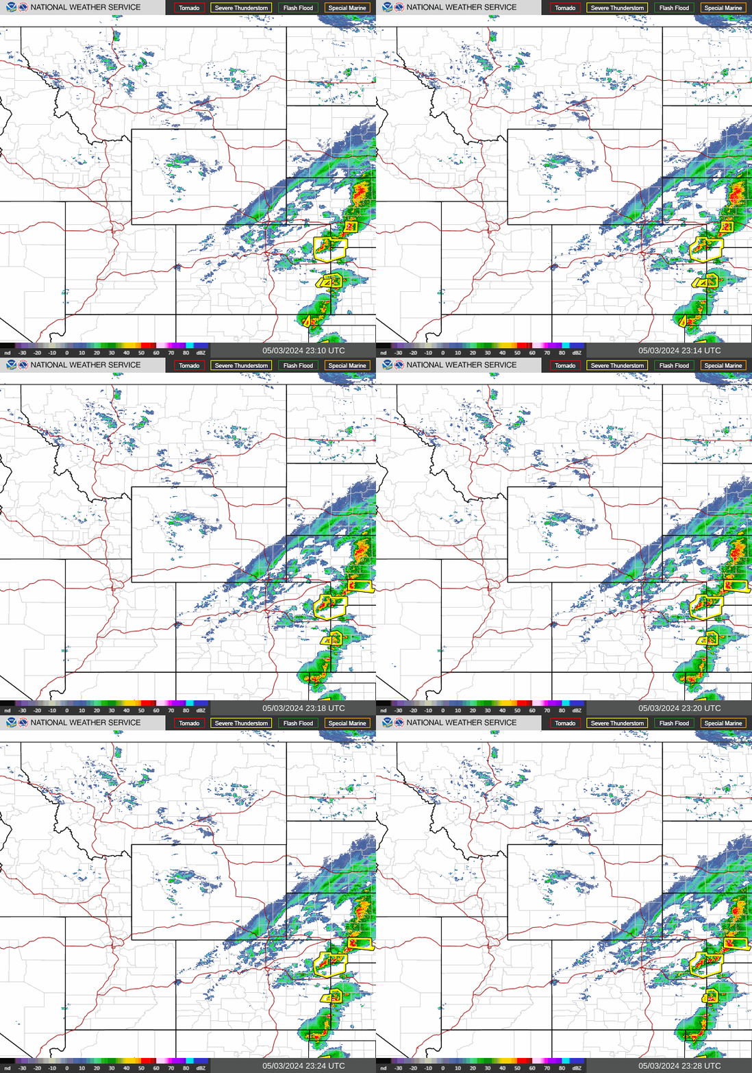
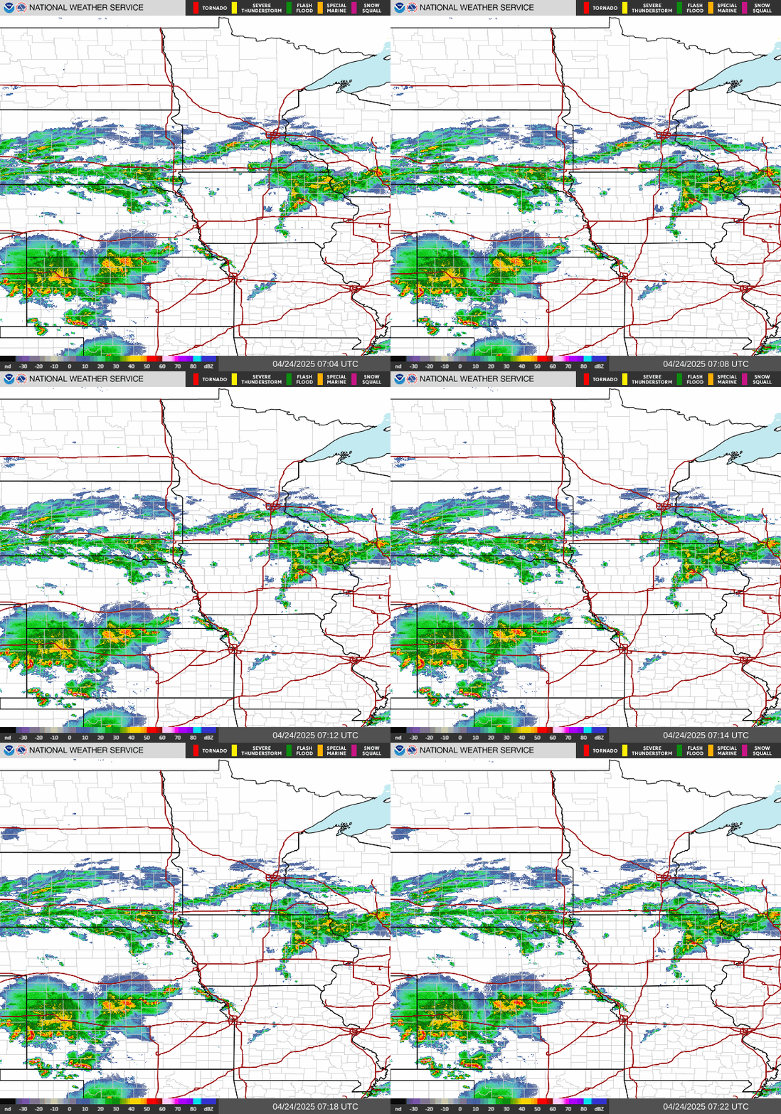
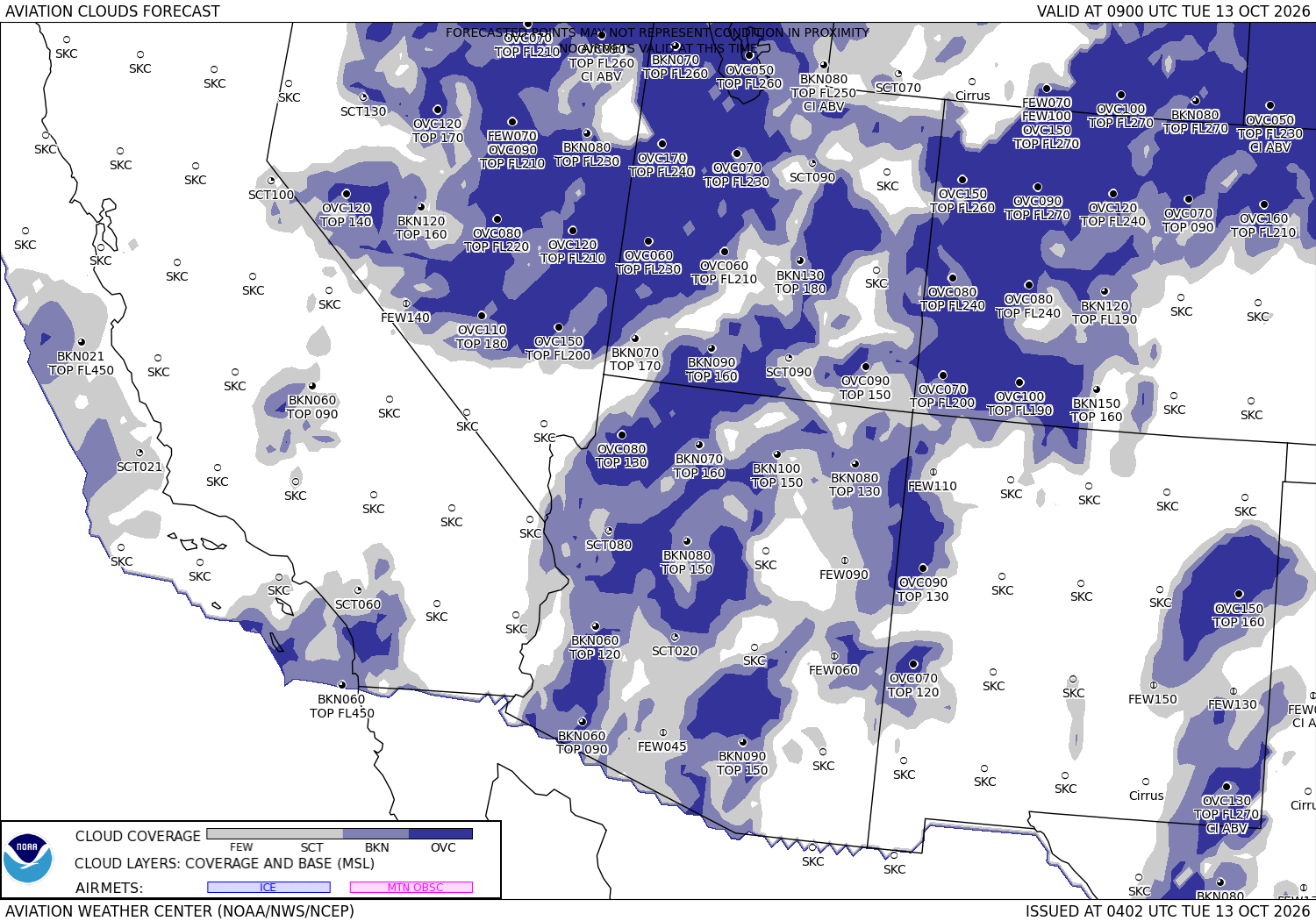
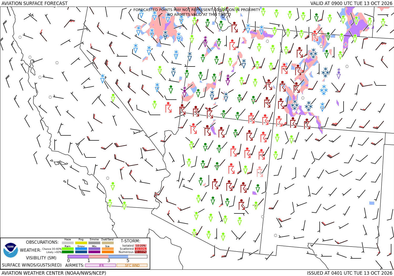
Radar and forecast charts for the regions crossed government pictures, the latest each time the page loads · the turbulence and icing forecasts: turbulence ↗ · icing ↗

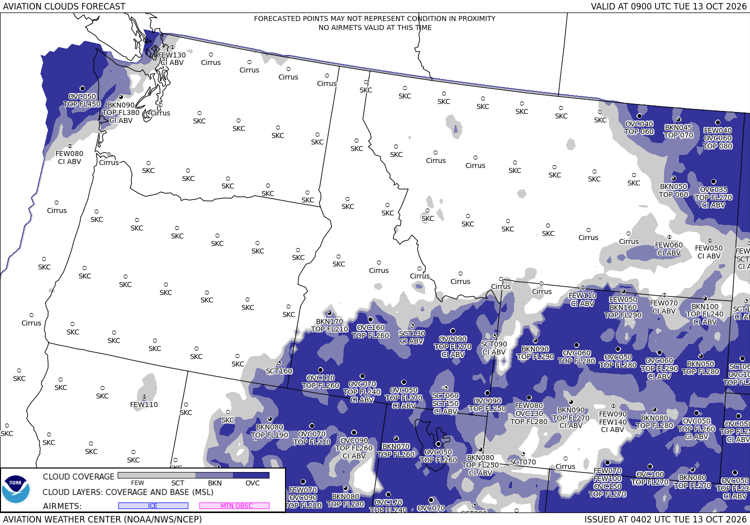
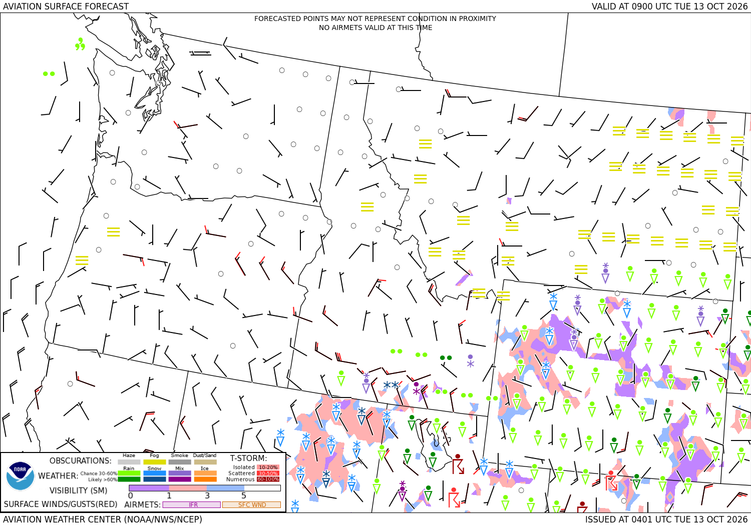
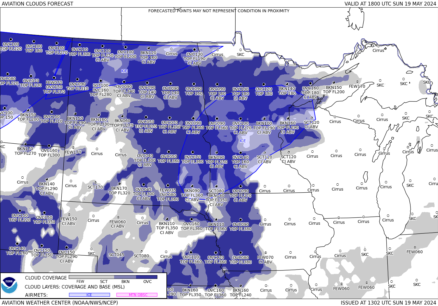
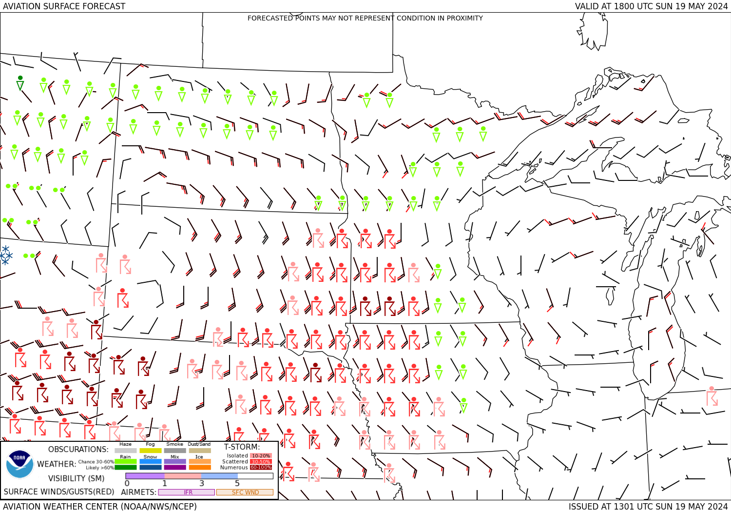




Sources: the Aviation Weather Center's data service (SIGMETs, AIRMETs, graphical AIRMETs, pilot reports, winds and temperatures aloft, observations and terminal forecasts), the National Weather Service radar, the Weather Prediction Center's charts, the FAA's temporary flight restriction list and shapes, and the FAA's airport file for the positions, elevations and magnetic variation. Fetched when the page is viewed and kept a few minutes. Each leg is the straight line between its two airports; airways, terrain and airspace are not considered. The airports in detail: Salt Lake City International, Syracuse Hancock International.