
New Measure Ground Control Software Adds Mapping Powered by Pix4D – Commercial UAV Expo
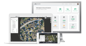
Washington, D.C. – February 11, 2020 – Measure, a leading aerial intelligence company, released an expanded version of its drone software platform, Measure Ground Control™. The new solution combines a user-friendly flight application and complete program management capabilities with integrated data …