Revolutionising the way we fly: apply for business funding
Organisations can apply for a share of up to £30 million to develop ways to support safe operations of novel modes of air transportation – minimising the environmental footprint and improving connectivity.
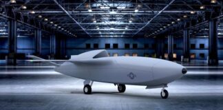
The Air Force’s AI-Powered ‘Skyborg’ Drones Could Fly as Early as...
The Air Force’s AI-Powered ‘Skyborg’ Drones Could Fly as Early as 2023The drones would fly alongside Air Force warplanes,...
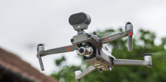
DJI Unveils the Mavic Air 2 with 48MP Sensor, 4K/60p Video,...
Photography and Camera News, Reviews, and Inspiration...
Police drone fliers’ wings clipped to prevent them bumping into real...
The Civil Aviation Authority giveth the CAA and taketh away...
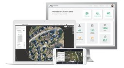
New Measure Ground Control Software Adds Mapping Powered by Pix4D
Washington, D.C. – February 11, 2020 – Measure, a leading aerial intelligence company, released an expanded version of its drone software platform, Measure Ground Control™. The new solution combines a user-friendly flight application and complete program management capabilities with integrated...
Colorado Gov. Vows To ‘Get To The Bottom’ Of Mystery Nighttime...
Authorities don't know where the drones come from, where they go or what they're doing.
Drones a step closer to air traffic control integration
A partnership between big hitters in aviation and the UAV world is paving the way for safer skies.
Researchers use drones to weigh whales
By measuring the body length, width and height of free-living southern right whales photographed by drones, researchers were able to develop a model that accurately calculated the body volume and mass of the whales.


